


News from VAGA
Development of geodesy and cartography in Ukraine: latest news and analytics
Participation of VAGA in the XXVIII International Scientific and Technical Conference "Geoforum-2025"
Events — April 14, 2025
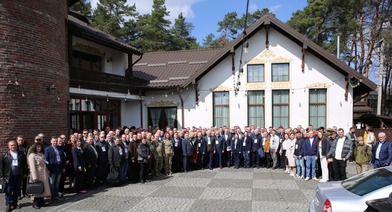
From April 9 to 11, 2025, Lviv and Bryukhovychi hosted the 28th International Scientific and Technical Conference "Geoforum-2025" — one of the leading events in the field of geodesy, cartography, land management, and geoinformation technologies.
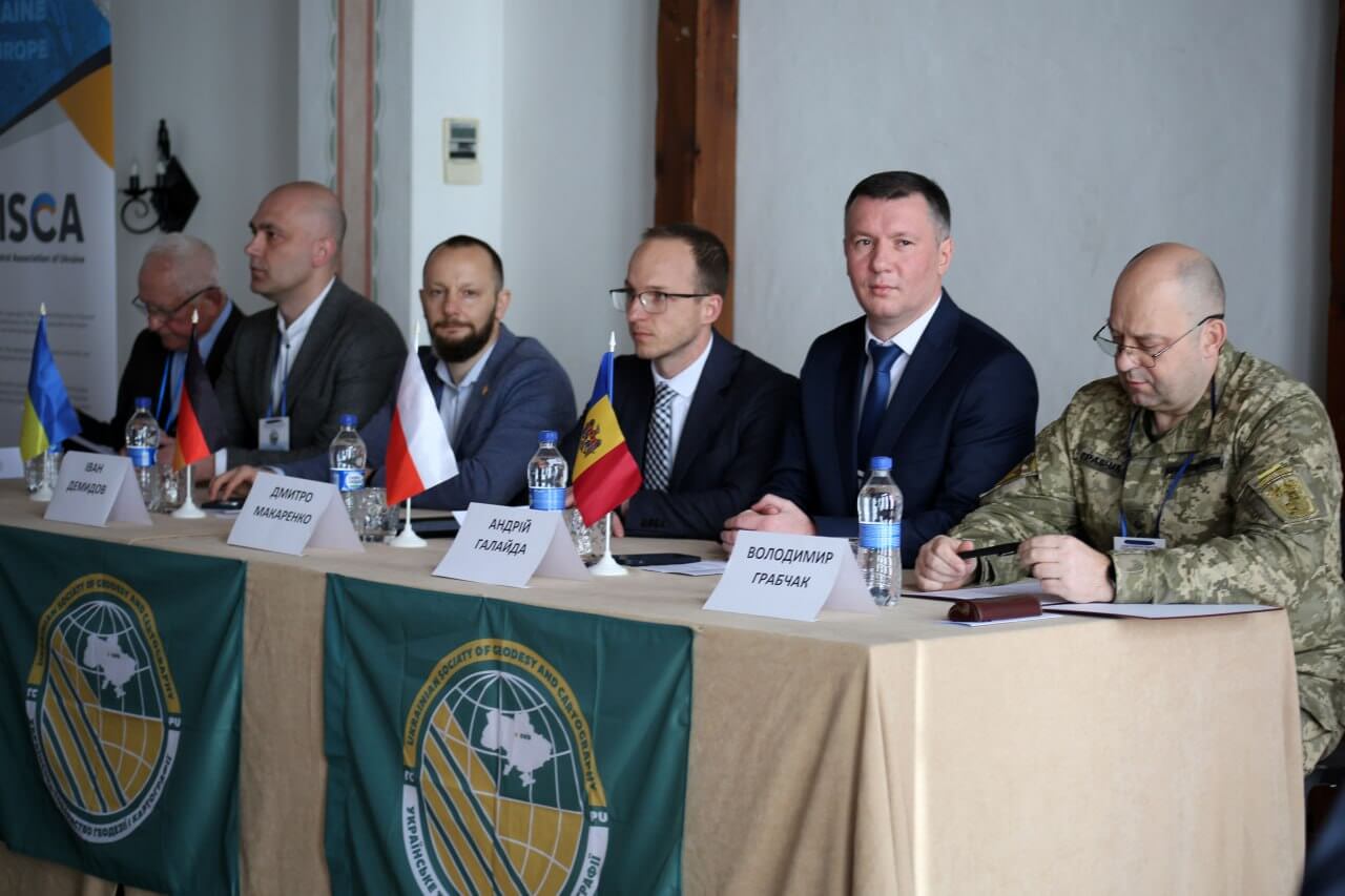
The forum was organized by the Western Geodetic Society of the Ukrainian Society of Geodesy and Cartography, with the support of leading state, academic, and public organizations, including the All-Ukrainian Aero-Geodetic Association.
The conference brought together over 350 participants from Ukraine, Germany, Poland, and the Baltic states—civilian and military specialists, scientists, engineers, business representatives, and students.
The program included:
- education in the field of geodesy, cartography, land management;
- geodetic support in wartime and reconstruction conditions;
- development of digital photogrammetry, GIS technologies, UAVs;
- automation of engineering and surveying works;
- modern land management, cadastre, navigation technologies, etc.
The forum included an opening ceremony, plenary and sectional meetings, poster presentations, an exhibition of equipment and technologies, as well as presentations by professional organizations and enterprises.
Representatives of the All-Ukrainian Aero-Geodetic Association were involved in both the preparation of the conference and active participation in its events, as a sponsor and co-organizer of the event, which emphasizes strategic support for the development of the industry in Ukraine.
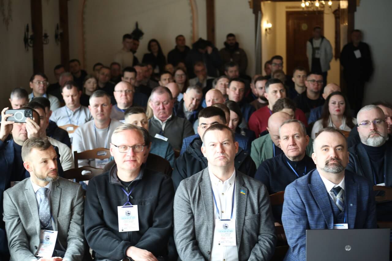
Participation in Geoforum 2025 demonstrated the Association's active position in the professional community, promoting knowledge exchange, technological development of the industry, and integration of Ukrainian geodetic and geoinformation initiatives in the international arena.
The Head of VAGA participated in a training seminar at the UN Global Geodetic Center
International cooperation — February 24, 2025
From February 17 to 21, 2025, the United Nations Global Geodetic Center (UN-GGCE) held a training seminar in Bonn, Germany, dedicated to developing European geodetic capabilities for the transition to a modern geospatial reference system.
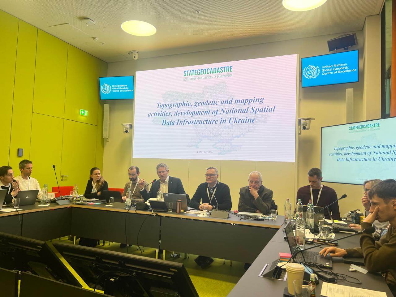
Representatives of Ukraine took part in the event: Andriy Galayda (State Geocadastre) and Oleksandr Prokhorchuk, head of the All-Ukrainian Aero-Geodetic Association and representative of the State Enterprise "Scientific Research Institute of Geodesy and Cartography."
Purpose and significance of the seminar
The event is part of a series of seminars on geodetic capacity building organized by UN-GGCE in cooperation with the German government. The Center's mission is to support UN member states in implementing and using the high-quality Global Geodetic Reference Frame (GGRF) necessary for satellite navigation, Earth observation, and monitoring of the Sustainable Development Goals.
During the seminar, the following issues were discussed:
The Ukrainian delegation presented:
Ukraine's needs for material and technical support were also outlined, including:
Special attention was paid to the importance of depicting Ukraine's territory and state border within internationally recognized boundaries.
Results and next steps
At the end of the trip, the Ukrainian delegation had fully accomplished its technical mission. Professional contacts were established with representatives of UN member states for further cooperation, particularly in the following areas:
The All-Ukrainian Aero-Geodetic Association and its partners plan to continue actively participating in UN-GGCE events, supporting international cooperation and exchange of experience for the development of Ukraine's geodetic potential.
All-Ukrainian Aero-Geodetic Association at INTERGEO 2024 in Stuttgart
Events — September 30, 2024
From September 24 to 26, 2024, the German city of Stuttgart hosted INTERGEO 2024, an international exhibition and conference and a leading global event in the field of geoinformation technology, geodesy, and land management. The event brought together 579 exhibitors and over 17,000 visitors from 121 countries, with around 800 participants from 47 countries taking part in the conference section alone.

The official Ukrainian delegation included representatives of the All-Ukrainian Aero-Geodetic Association, who presented their own developments and technologies. The association focused on three key areas:
During the event, the association's experts shared their experiences with colleagues from different countries, particularly in the context of digital city twins, environmental monitoring, modern cartography, and the use of drones in geodesy.
It is emphasized that participation in INTERGEO contributes to:
As a result, the presence of the All-Ukrainian Aero-Geodetic Association at INTERGEO 2024 became a significant step towards establishing new professional contacts, demonstrating national achievements in geotechnologies, and further implementing advanced geoinformation practices in Ukraine.
Signing of the Cooperation Agreement between the All-Ukrainian Aero-Geodetic Association and the State University of Trade and Economics
The All-Ukrainian Aerogeodetic Association, a public organization that brings together leading experts in the fields of geodesy and aerial photography, has signed a cooperation agreement with the State University of Trade and Economics. The aim of this cooperation is to improve the development of geodesy and aerial photography technologies in the context of modern production, legislative, and scientific and technical trends.
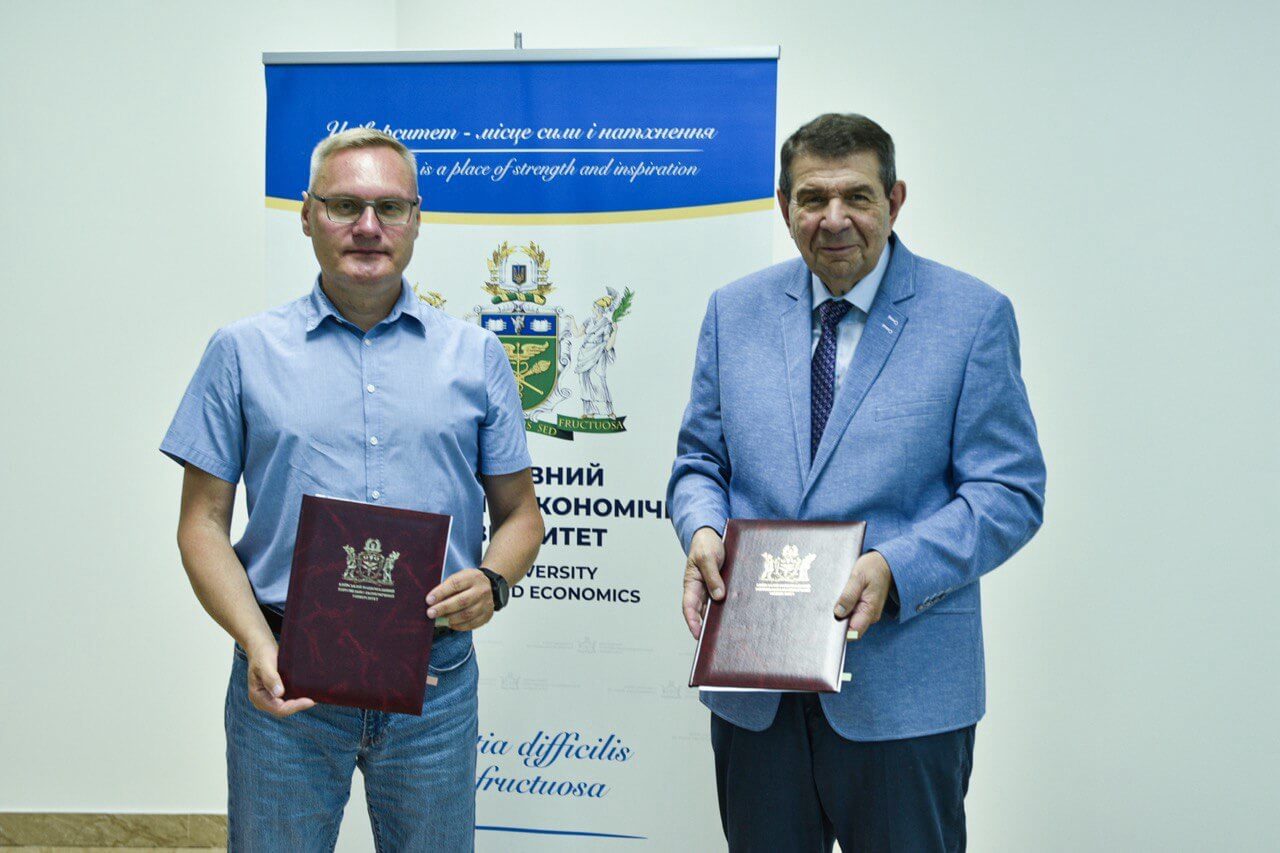
The agreement provides for the following:
- Joint preparation and implementation of scientific research and projects in the field of geodesy, cartography, aerial photography, and geographic information systems.
- Organization and holding of conferences, seminars, master classes, and training sessions for students and young professionals.
- Introduction of innovative technologies into the educational process, which will enable university students to gain practical skills in working with the most modern tools and methods.
- Expanding cooperation in the form of internships and work placements, which will give students the opportunity to work directly on real projects under the guidance of experienced professionals.
This partnership will not only improve the level of training for future specialists, but will also promote the introduction of the latest technologies in surveying and aerial surveying practices in Ukraine. Cooperation with the university is an important step towards the development of modern education and science in our country.
We are delighted to embark on this new phase in our activities and are confident that our joint efforts will yield significant results in the development of geodetic sciences and technologies in Ukraine.
The All-Ukrainian Aero-Geodetic Association took part in the leading international exhibition Intergeo 2023, which took place in Berlin.
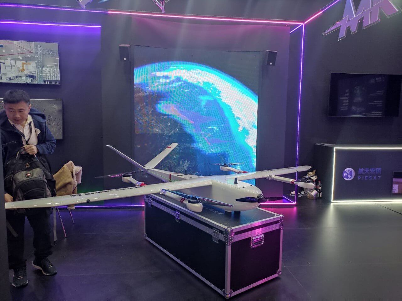
This event is one of the largest and most important events in the field of geodesy, geographic information systems (GIS), cadastre, as well as technologies for surveying and processing spatial data.

Participation in Intergeo 2023 gave us the opportunity to present our achievements, exchange experiences with leading international experts, and establish new partnerships with organizations from around the world. The exhibition featured the latest developments and innovations in the field of aerial geodetic technologies, which open up new opportunities for improving the accuracy and efficiency of surveying, data analysis, and digital map creation.
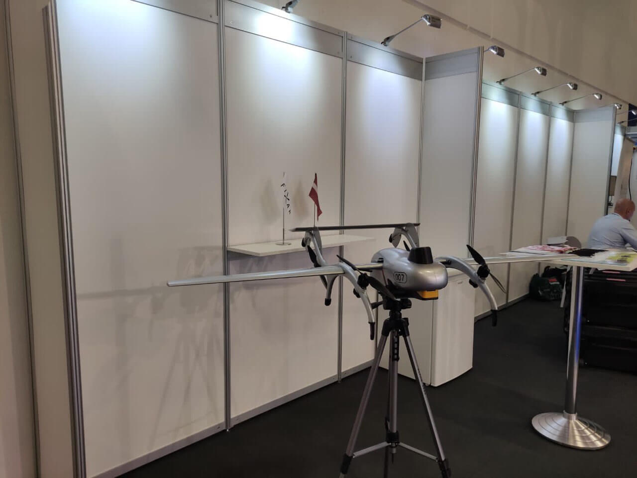
Among the key points of our participation:
- Presentation of new projects aimed at developing aerial geodesy in Ukraine.
- Discussion of promising areas of cooperation with international colleagues.
- Familiarization with the latest technologies that significantly improve the quality of surveying work.
We are grateful to everyone who visited our stand at Intergeo 2023, and to all our partners with whom we were able to communicate and discuss future projects. Participation in such events is an important step towards strengthening Ukraine's position in the international arena in the field of geodesy and GIS.
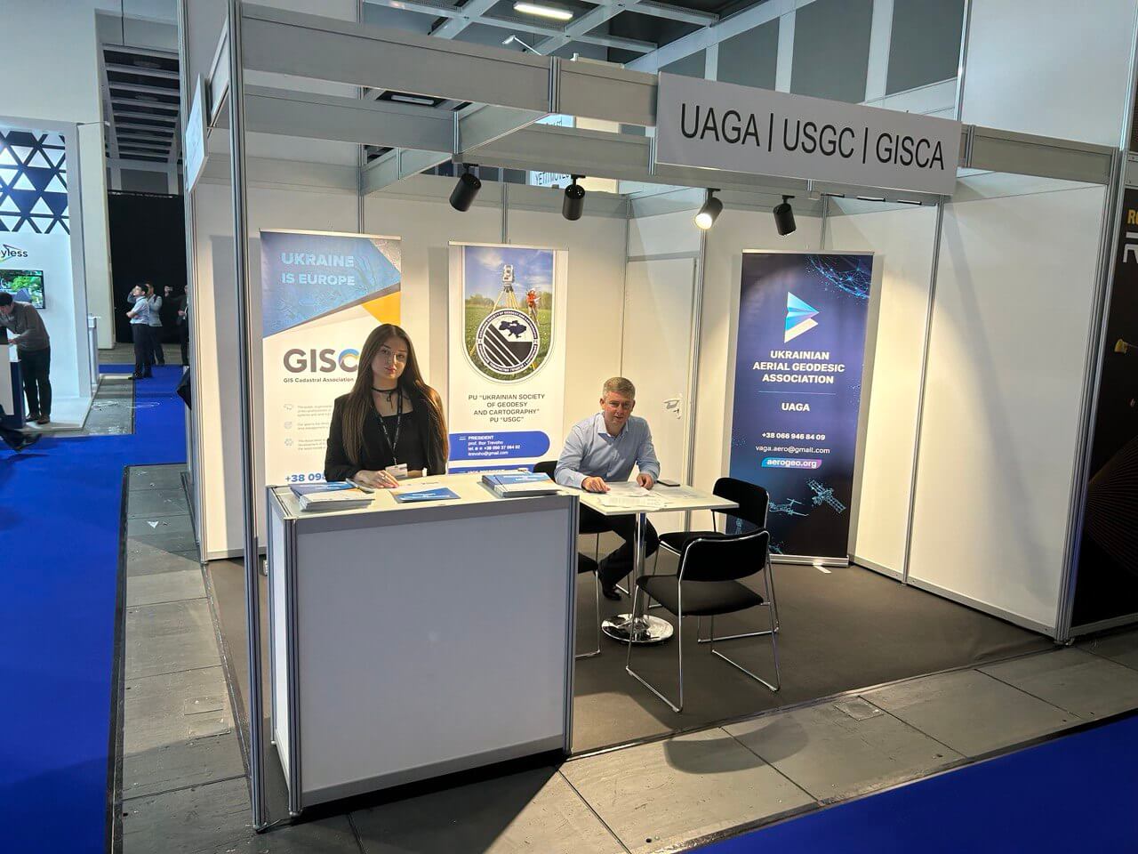
We continue to work on implementing cutting-edge technologies in our work and are excited about the new opportunities that international cooperation opens up. Follow our news to learn more about our upcoming projects and initiatives!
Charitable initiative: The NGO GISKAD and the NGO All-Ukrainian Aero-Geodetic Association provided assistance to the Chernobyl Radiation and Ecological Biosphere Reserve.
Dear friends,
We are pleased to announce a new charitable initiative from the public organizations GO GISKAD and GO All-Ukrainian Aero-Geodetic Association. As part of our comprehensive cooperation, we have provided material assistance to the Chernobyl Radiation and Ecological Biosphere Reserve (CREBZ) in the form of a batch of new laptops.
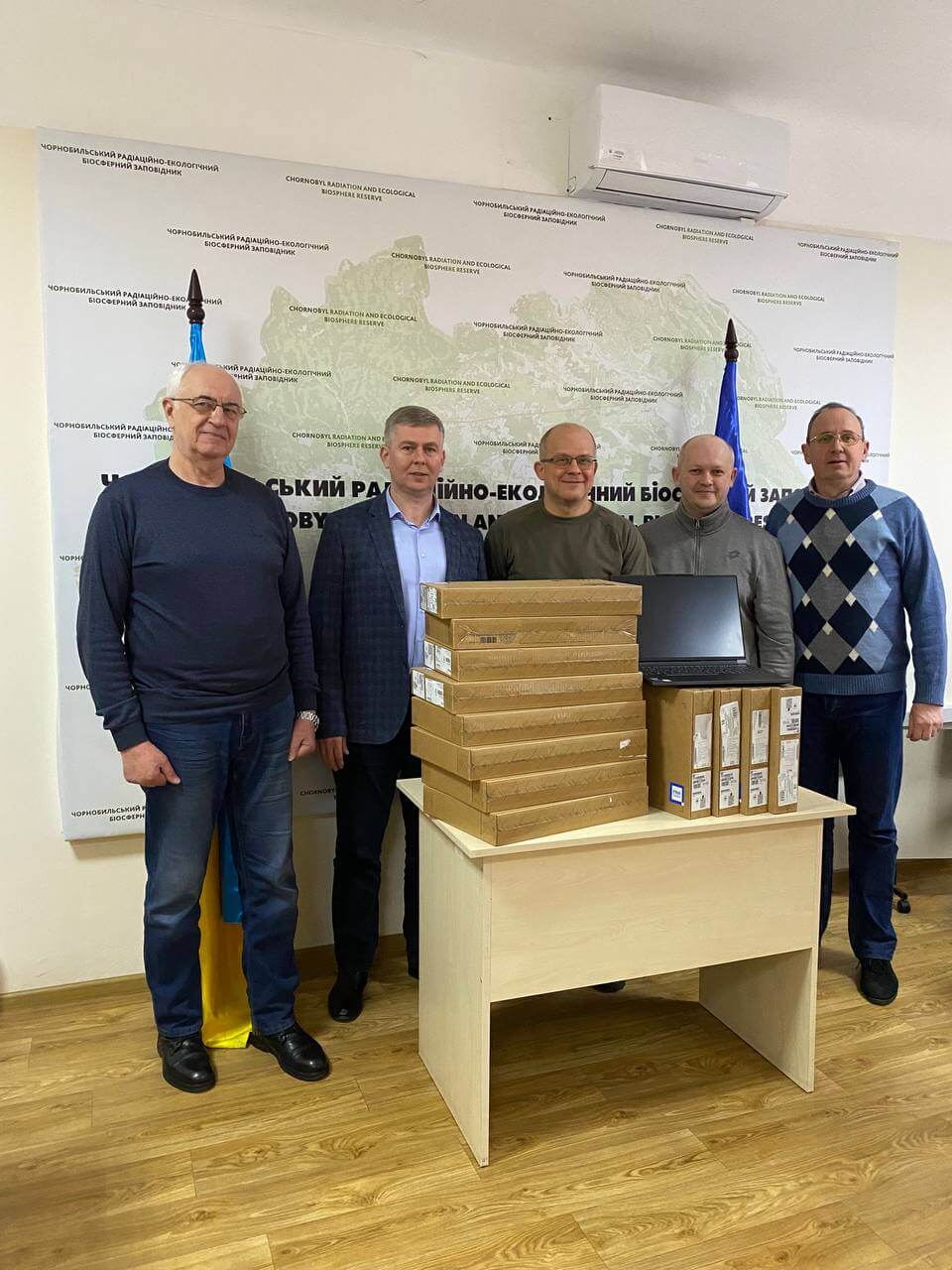
This modern equipment, equipped with powerful software, will help CHREBZ employees perform their tasks even more efficiently and quickly. These include monitoring nature conservation sites, researching fauna and flora, and maintaining and analyzing data on the terrain and other important aspects of the Chernobyl zone.
We are convinced that protecting and preserving the Chernobyl zone and its unique ecosystem is not only a task for the current generation, but also our duty to future generations of Ukrainians. This initiative is a step toward ensuring a stable and secure future for all of us.
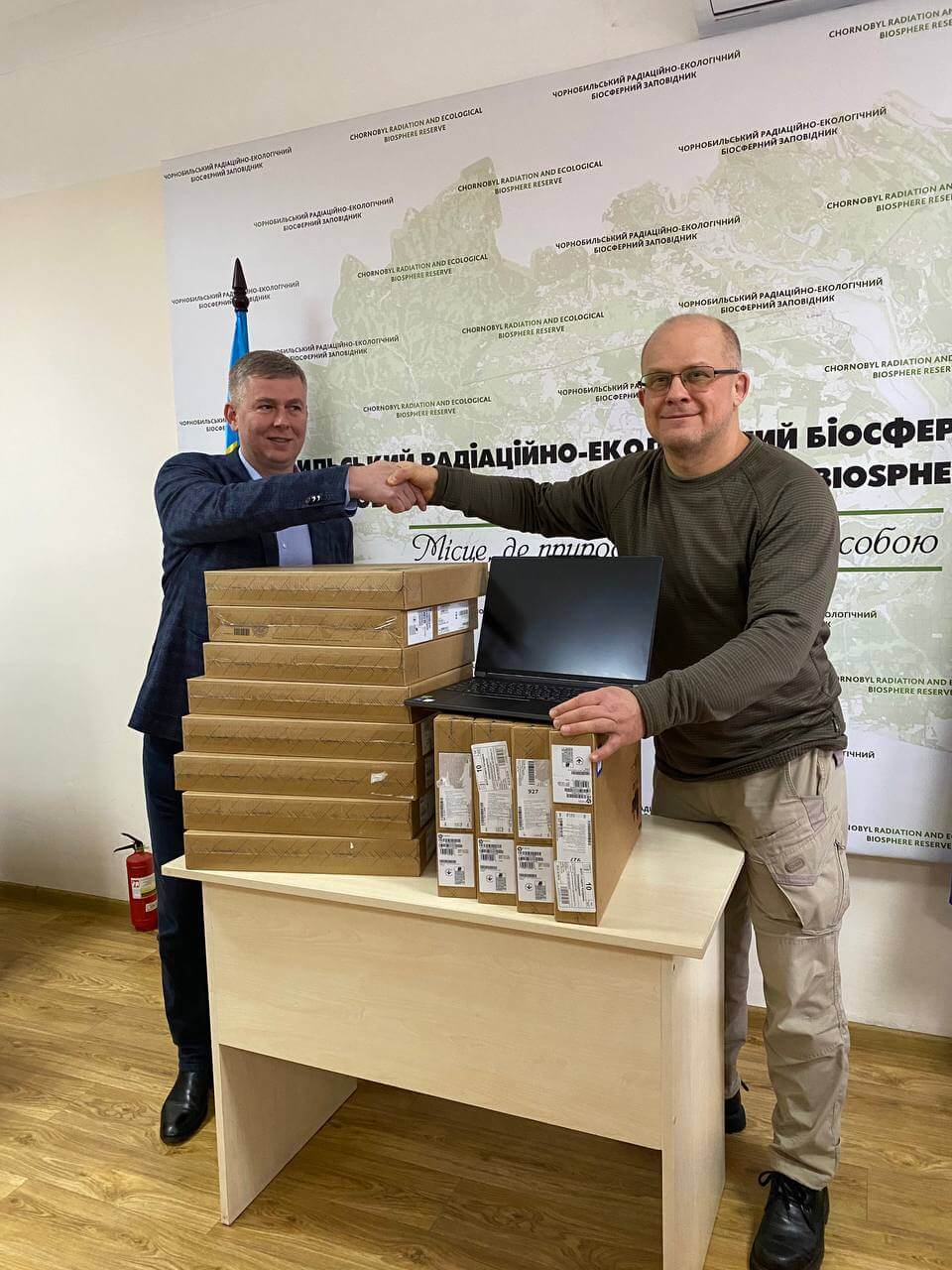
Thank you to everyone who supports our work and contributes to the preservation of Ukraine's nature!
Creating a GIS for the Chernobyl Radiation and Ecological Biosphere Reserve: A Geoportal as a Tool for Accessing Information
Since its inception, the Chernobyl Radiation and Ecological Biosphere Reserve (CREBZ) has been actively implementing the latest technologies in its activities. Digitization, the use of mobile applications, and modern gadgets have taken the work of this nature conservation organization to a new level of quality. Thanks to this approach, we are now ready not only to continue using these tools internally, but also to share our experience with a wider range of users.
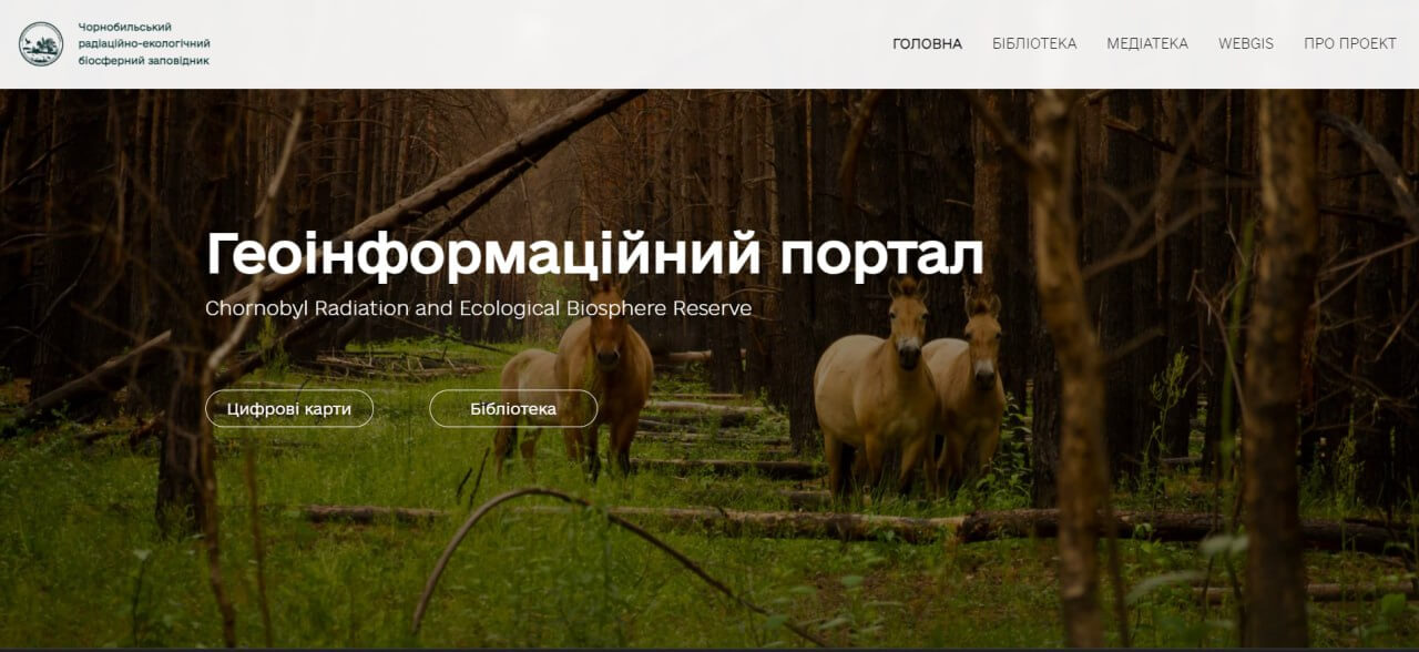
Today, we are pleased to announce the creation of a geographic information system (GIS) for the Chernobyl Reserve. This powerful tool provides access to a large array of data for ecologists, stakeholders, scientists from Ukraine and abroad, as well as local communities. Information collected over six years of work by the Chornobyl Reserve, as well as data accumulated over 38 years of activity by various structures in the exclusion zone, is now available on the new geoportal.
The digital age has enabled us to create a platform that allows us to record, store, analyze, and display all forms of geographic information. The Reserve's geoportal already provides access to spatial information covering all areas of activity, including nature conservation tasks in the exclusion zone.
On the geoportal you will find:
- Maps of modern anthropogenic landscapes of the territory and research materials from the 1990s.
- Mapping of various types of flora and fauna collected during research projects and expeditions.
- Places where representatives of bird species listed in the Red Book of Ukraine can be found.
- Geospatial materials from camera traps.
- Information about rare biotypes and plant communities, species of flora listed in the Red Book of Ukraine.
- Marking of archaeological sites, tourist routes, and nature reserve objects within the boundaries of the Reserve.
This portal opens up new opportunities for anyone interested in researching and preserving the unique environment of the Chernobyl zone. We invite you to join us for the public presentation of the portal, where free access to all collected data will be officially launched. Details about the date and time of the event will be announced shortly.