


Introduction of new methods
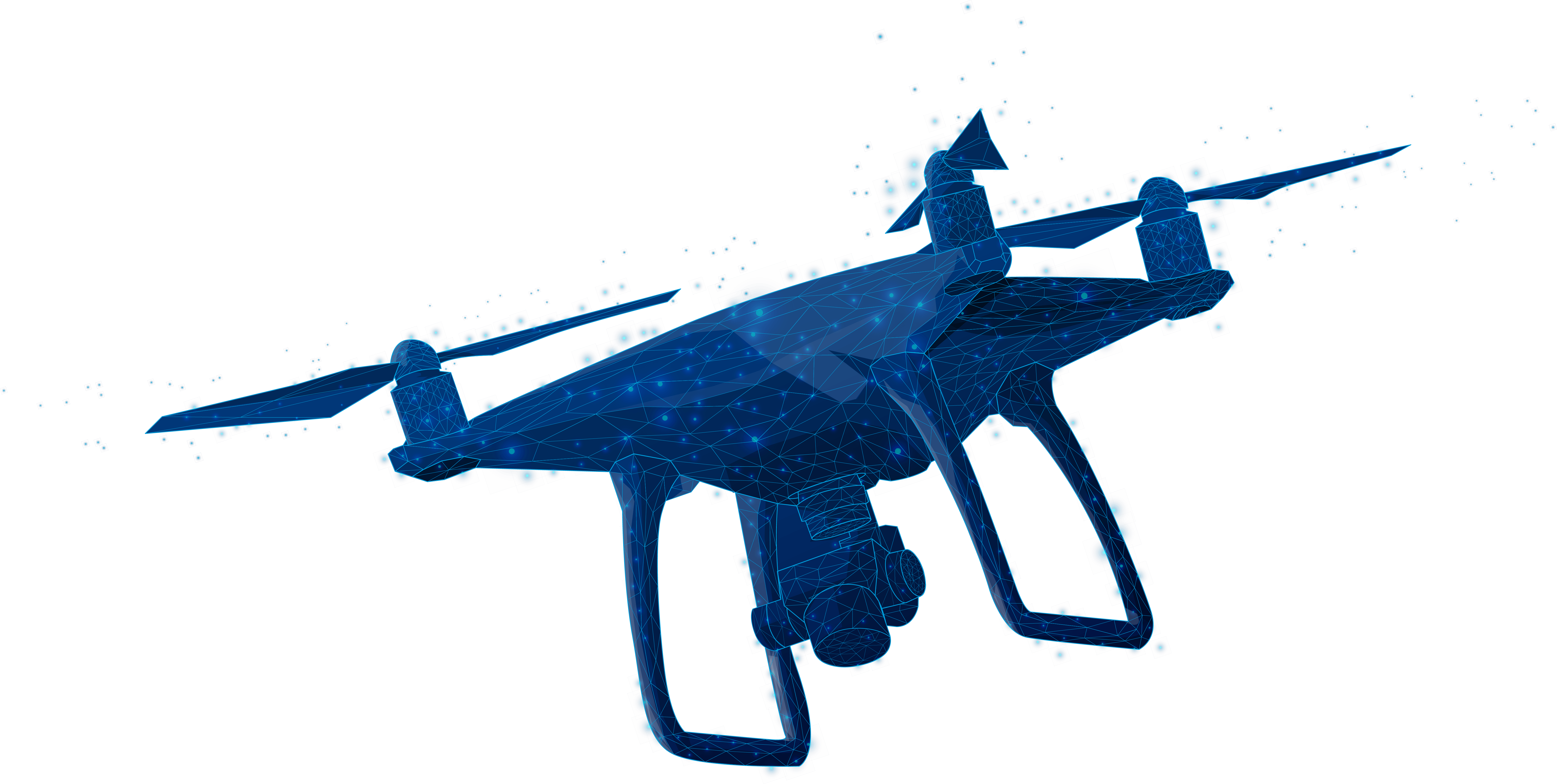
Using new aerial photography tech to make geodata more accurate.

Professional development
Organization of training programs to improve the professional level of specialists.

International cooperation
Developing partnerships with international surveying associations.
Goals of the association
We strive to join forces to develop geodesy and aerial surveying, promoting scientific progress and cooperation

Effective cooperation with government agencies

Promoting the attraction of funding for engineering projects in geodesy

Cooperation for the implementation of scientific achievements

Standards for the use of UAVs in geodesy

Promotion of UAV aerial photography for GIS

Development of programs for processing aerial survey data
Latest updates and top news
Activities and services
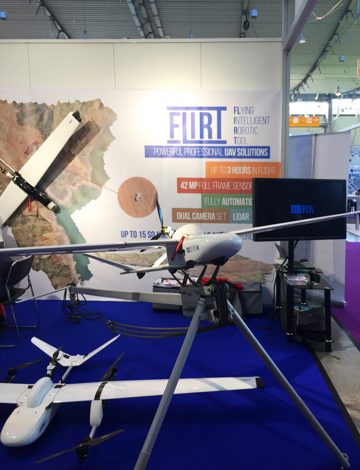
Our activities are aimed at developing geodesy and cartography, introducing the latest aerial photography technologies, and improving the professional level of specialists.
Scientific research


Technological innovations
Publications and developments
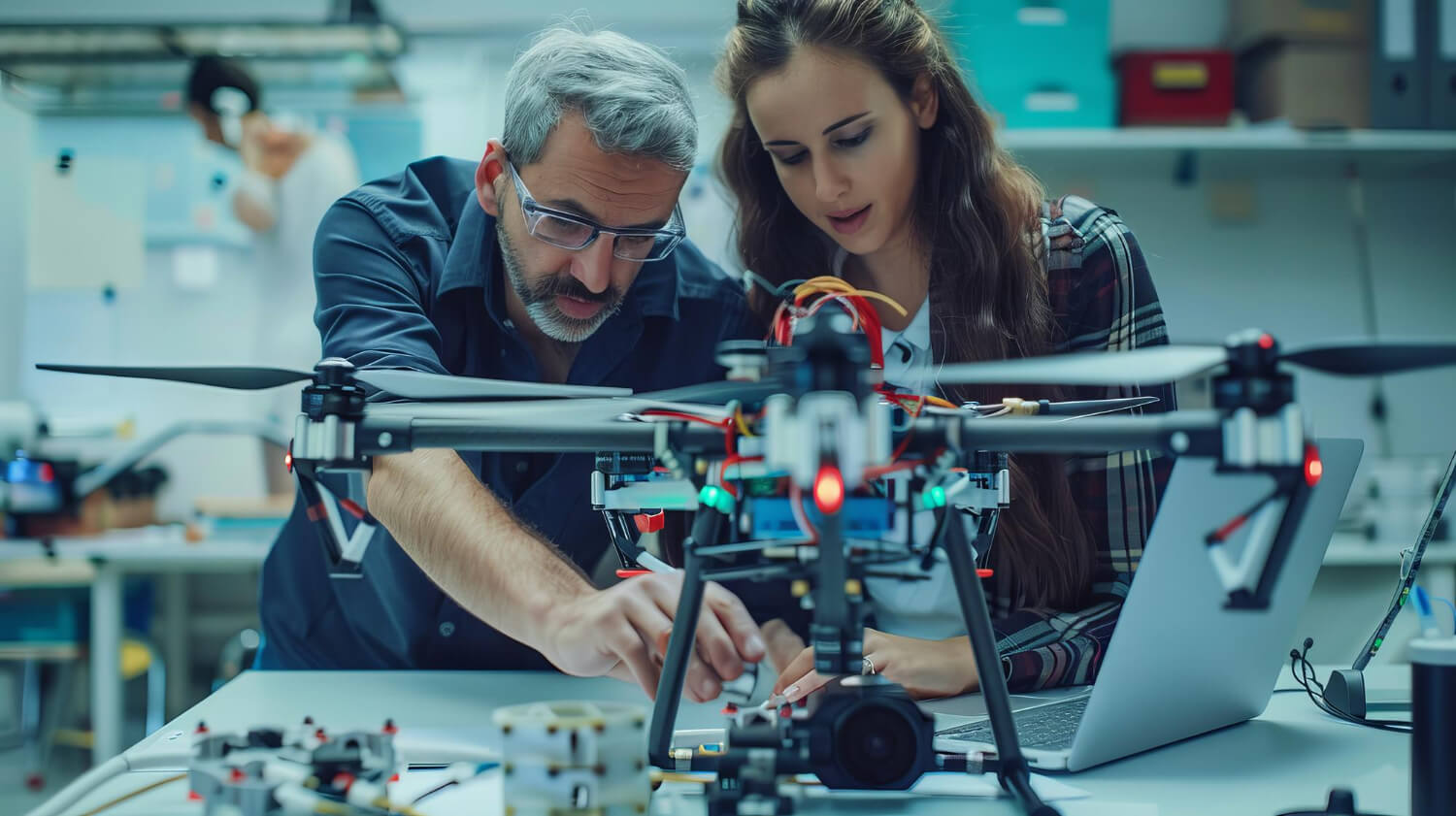
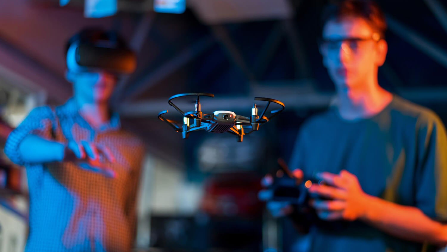


Photo Gallery
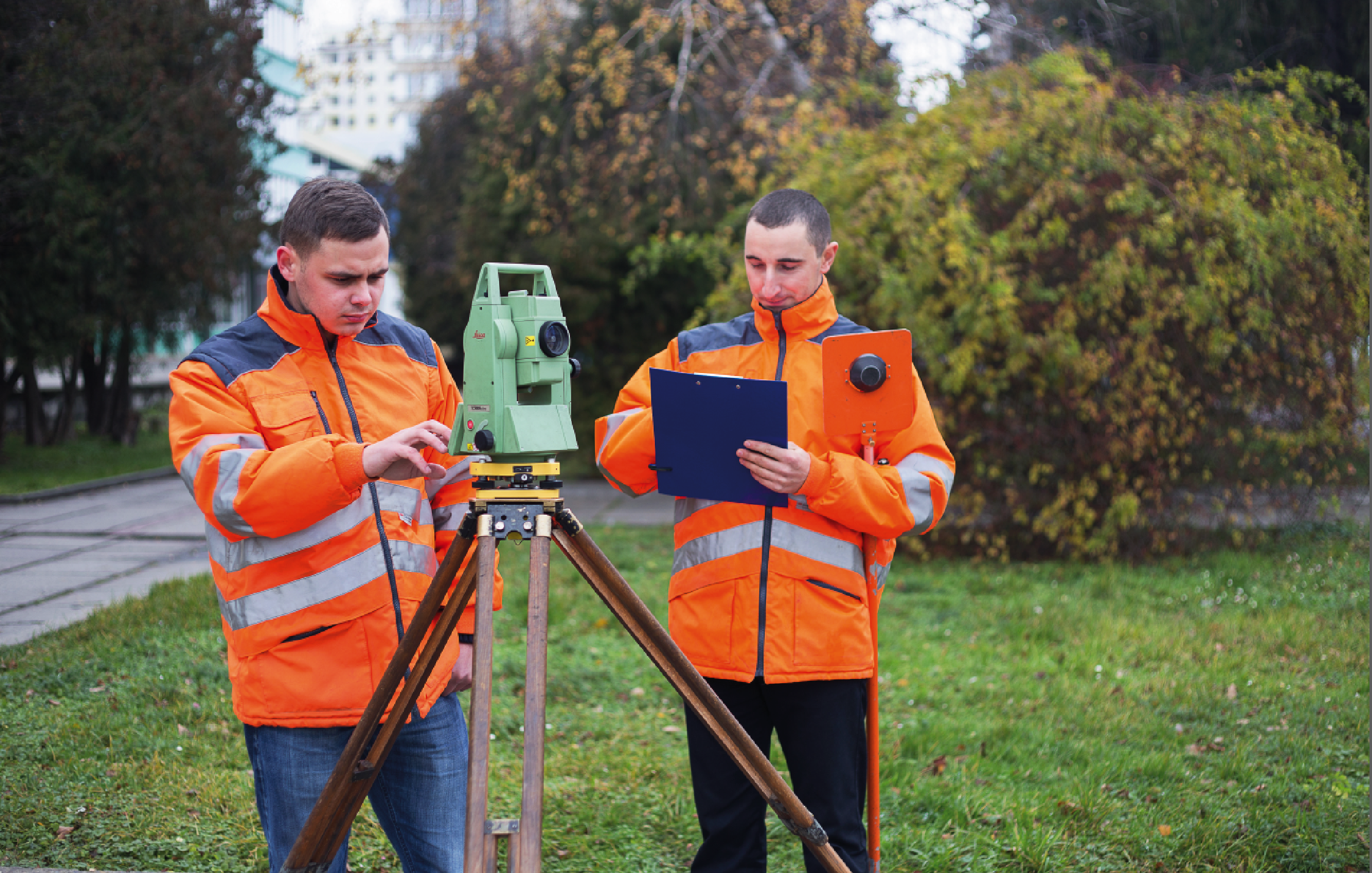
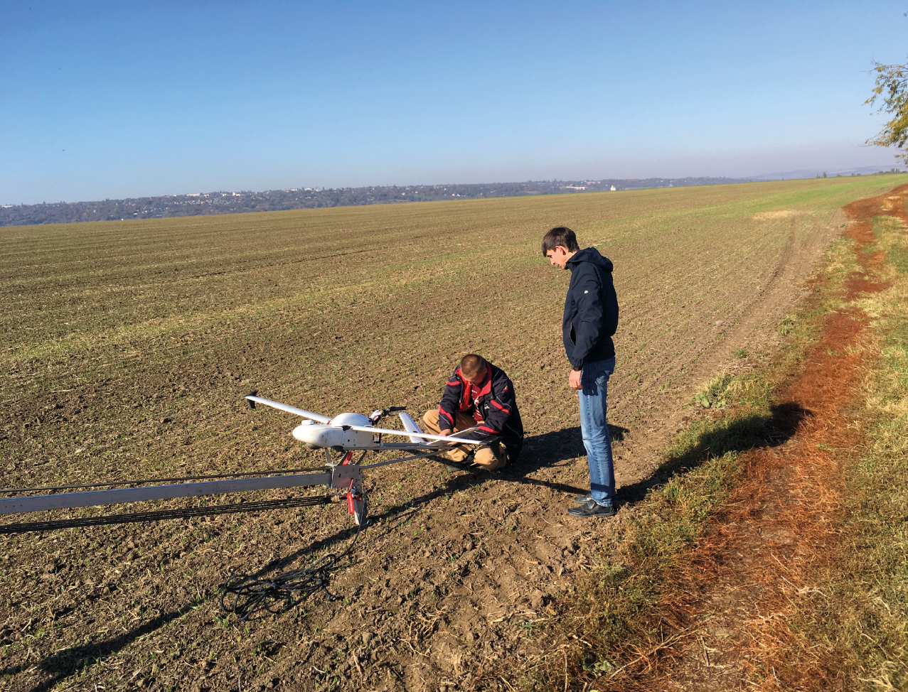
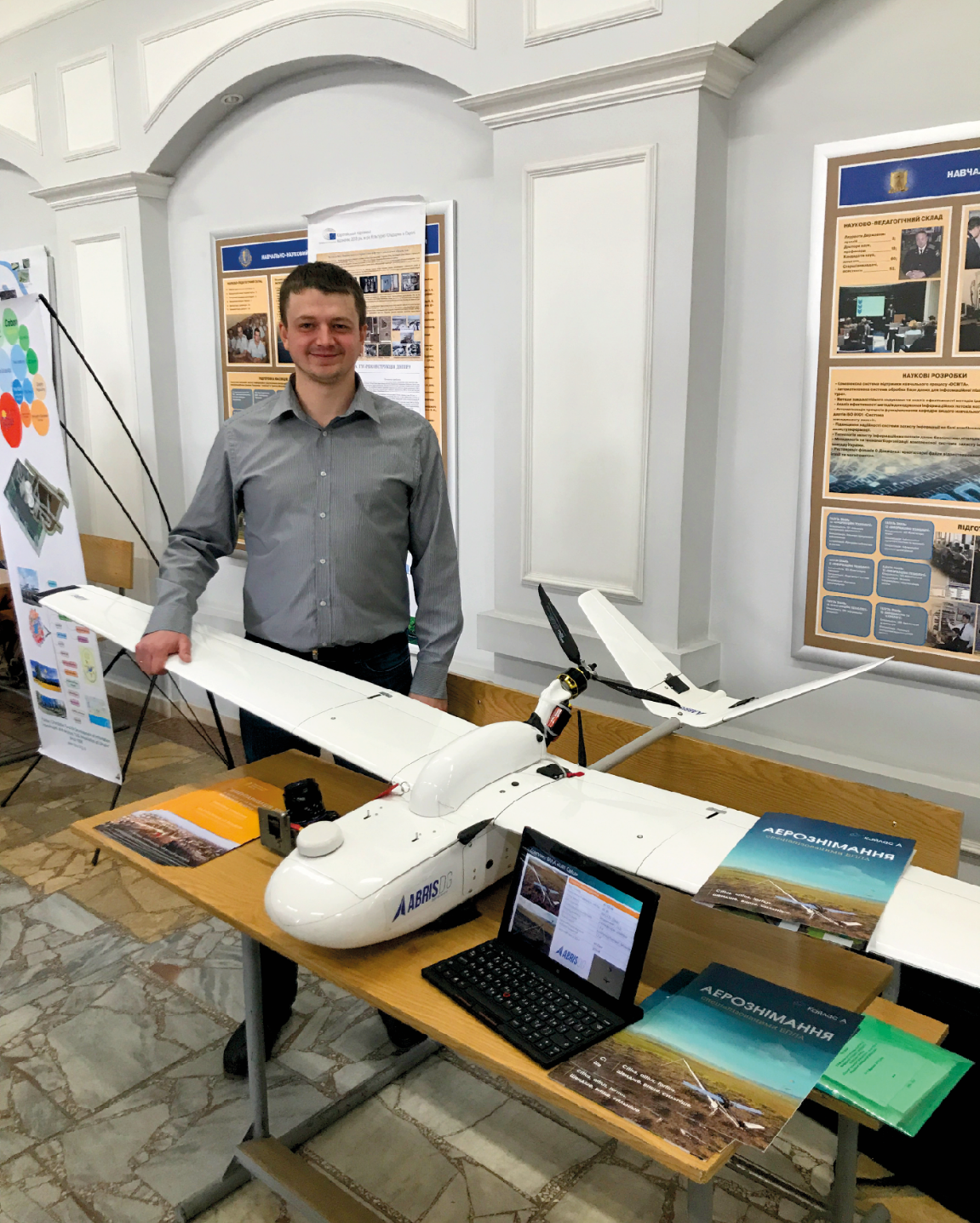
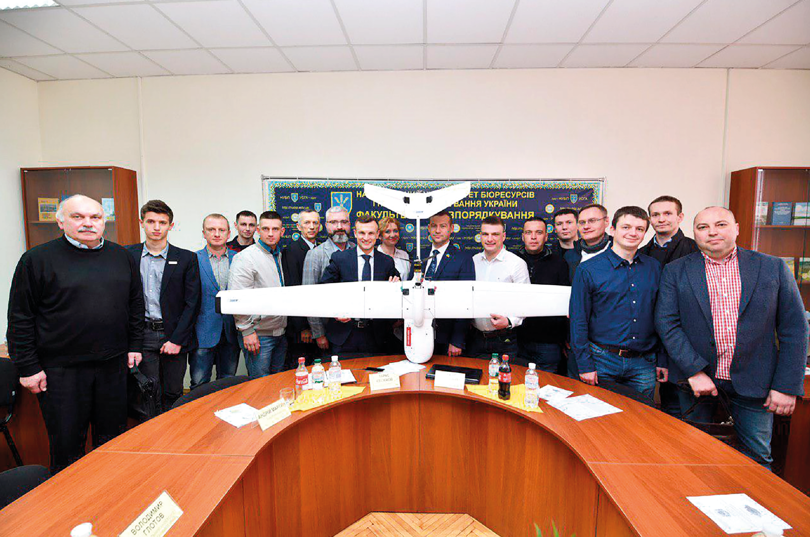
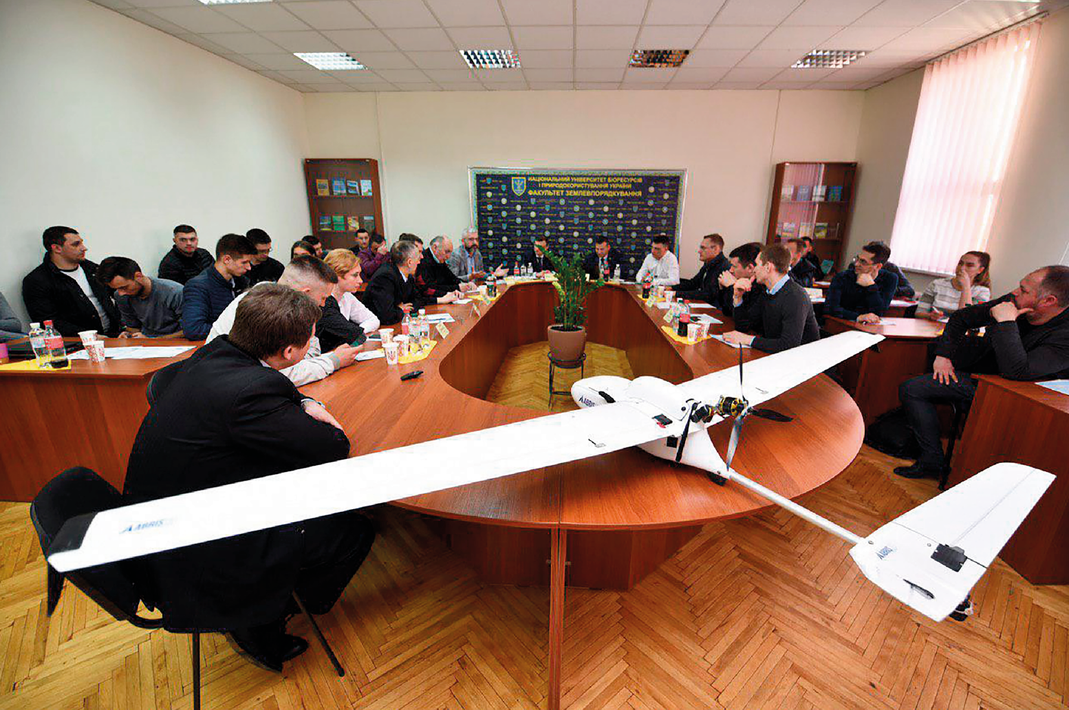
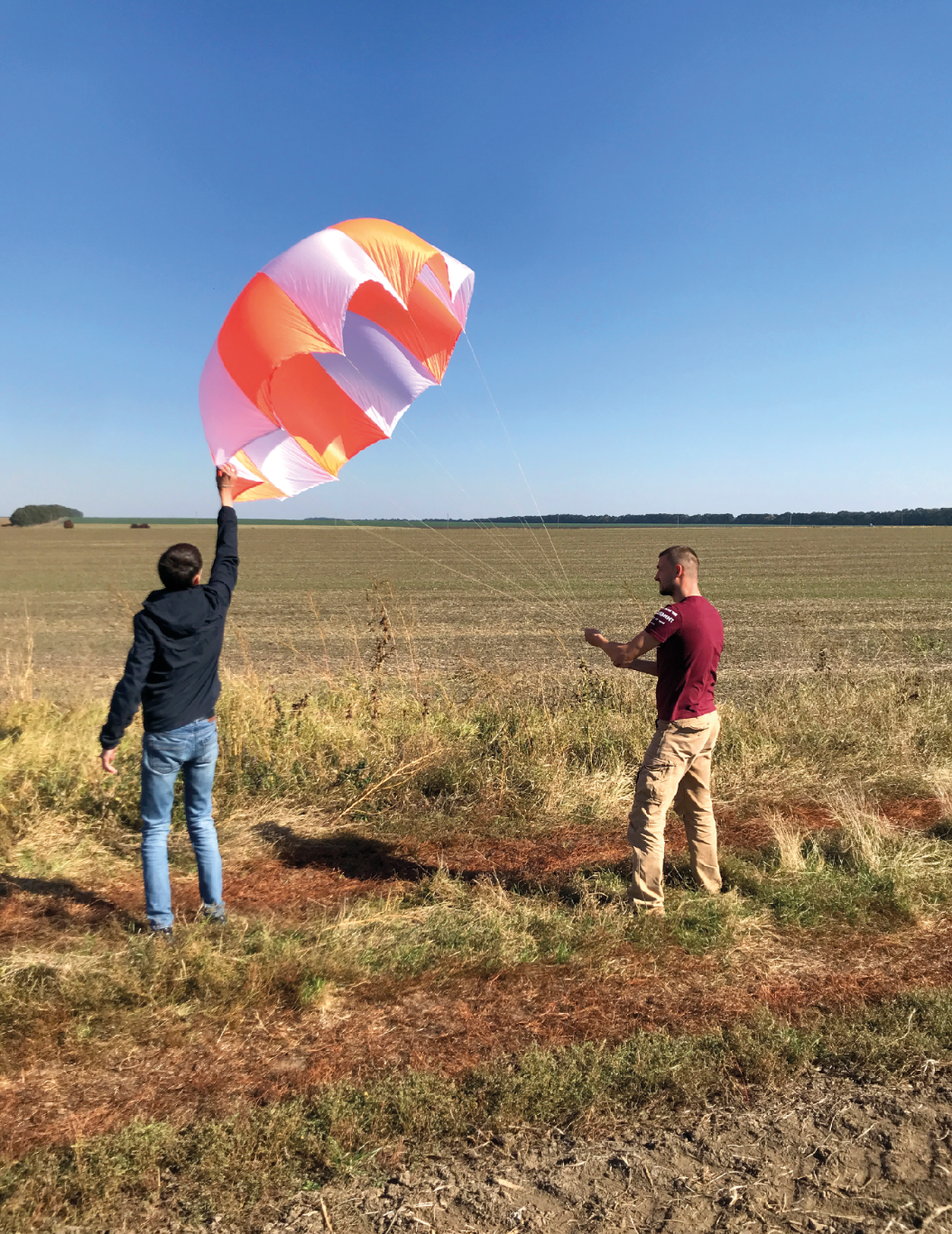
Check out our projects and achievements in the field of geodesy and aerial photography, which demonstrate our professional capabilities.


Cooperation with VAGA
The application and questionnaire must be completed in paper form.

Our partners












Contacts VAGA
If you are interested in working with us or have any questions, please contact us using the details below.


